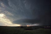
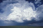
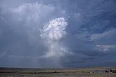
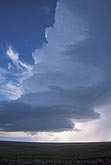
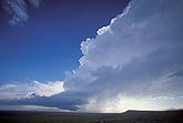
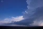
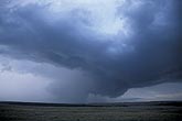
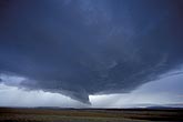
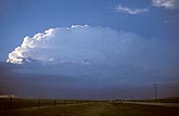
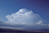
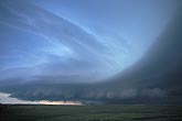
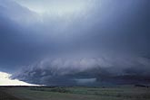
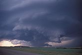
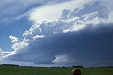
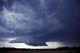
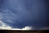
Supercells: Stock photos of Cumulonimbus clouds that depict classic supercell thunderstorm type features. Most are overview examples but a few show the underside structure and storm-scale rotation.

  • A back-building supercell storm with a circular updraft base
    • W030366Z
    • +
  • A new supercell storm is in the making as a storm cell builds rapidly
    • W030283S
    • +
  • A tall, steady-state supercell storm appears to be vertical
    • W023107S
    • +
  • This LP (low precipitation) supercell storm is small but dynamic
    • W023079Z
    • +
  • LP supercell storm cloud nature and the reason for its name explained
    • W023049Z
    • +
  • Low-precipitation (LP) supercell storm with spiralling updraft
    • W023046S
    • +
  • Severe storm cloud details: RFD and rotating wall cloud
    • W022990S
    • +
  • A supercell thunderstorm type with inflow tail and rain-free base
    • W022970S
    • +
  • This supercell is a steady-state severe storm with rotating updraft
    • W022848Z
    • +
  • A classic supercell tornadic severe storm with a history of giant hail
    • W022805Z
    • +
  • An emerging supercell thunderstorm with powerful updraft
    • W021794Z
    • +
  • As a storm becomes a severe supercell An arc of low cloud separates
    • W021792Z
    • +
  • Near-perfect structure of a classic supercell storm
    • W021626S
    • +
  • A classic supercell storm shapes and controls flow and clouds
    • W021619S
    • +
  • Winds and air motion in supercells: inflow/outflow zone
    • W021612Z
    • +
  • Three-dimensional stacked structure of a supercell severe storm
    • W021607S
    • +
  • A classic supercell, below which low clouds are gathering
    • W021564Z
    • +
  • Low-precipitation supercell storm type with a small rotating updraft
    • W013220S
    • +
  • Classic supercell storm type with a rotating wall cloud below
    • W012783S
    • +
  • Supercell thunderstorm cloud features: rotating wall cloud
    • W012773S
    • +